Wide World Maps & MORE!
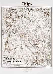
Official Map of the Territory of Arizona 1880 Enlarged Dry Erase Laminated
$ 49.95
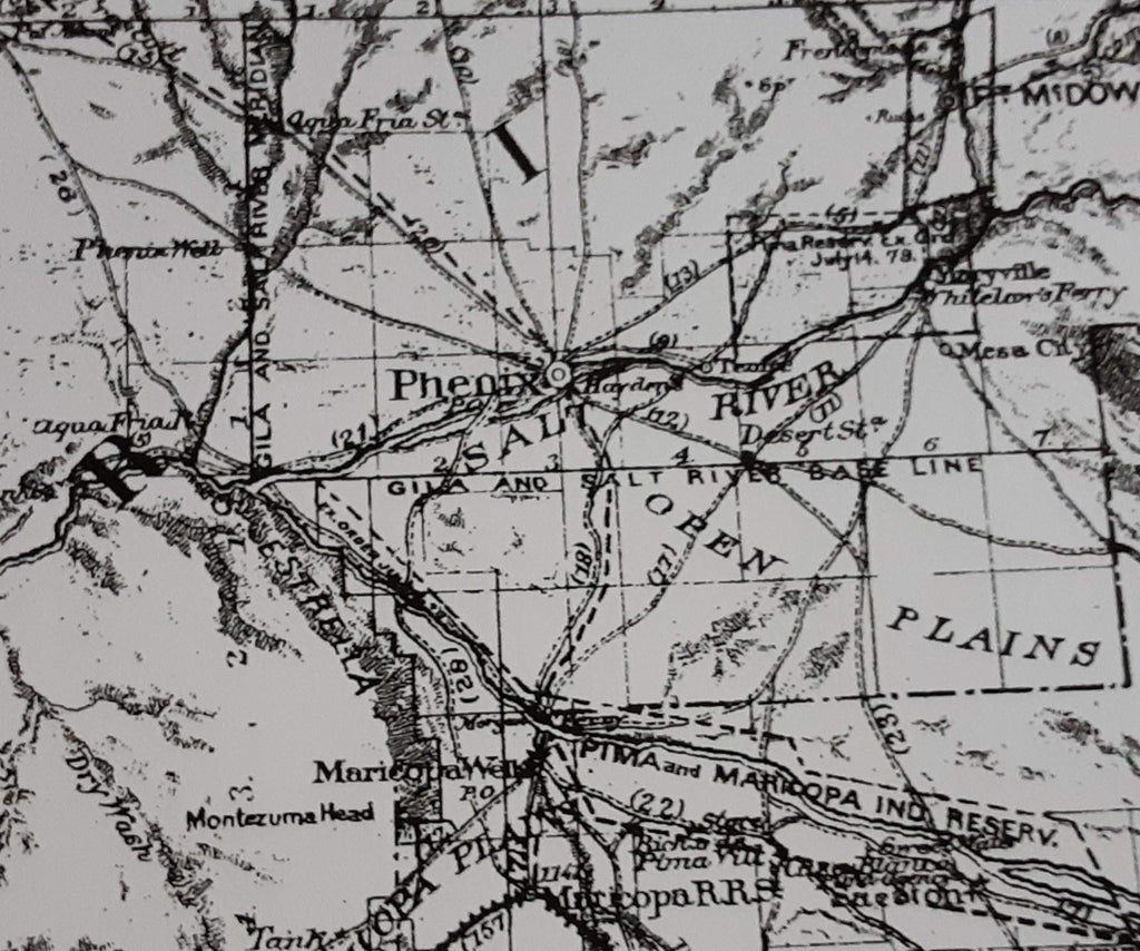
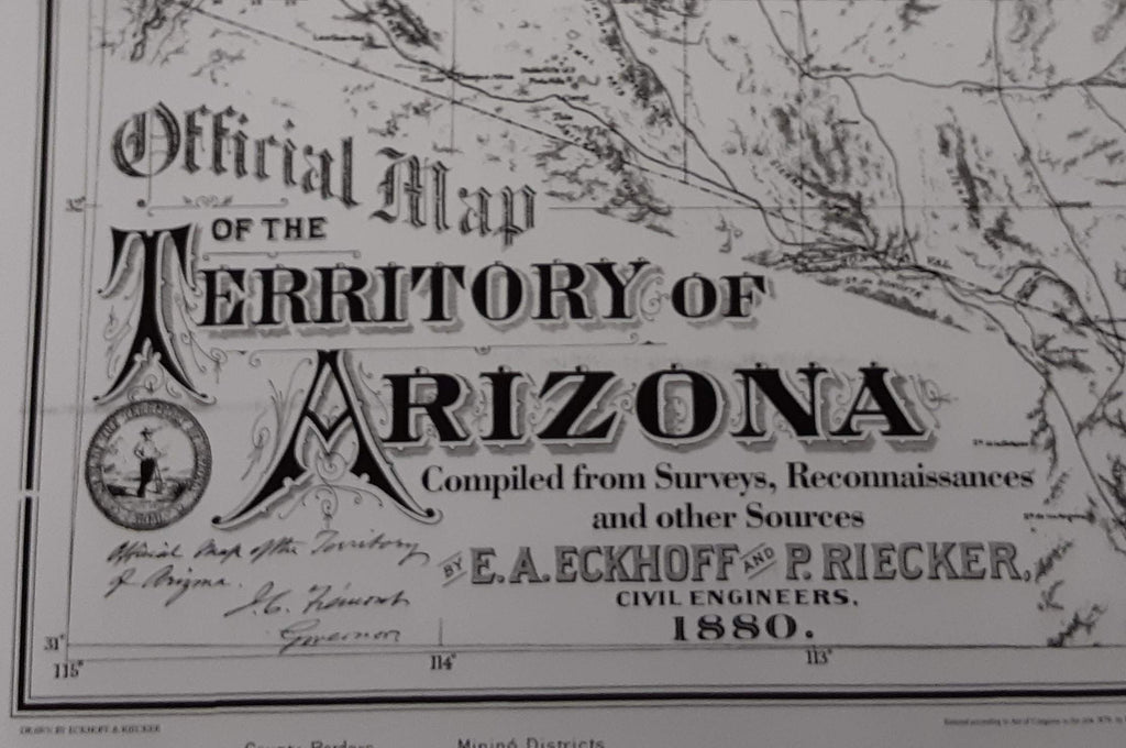
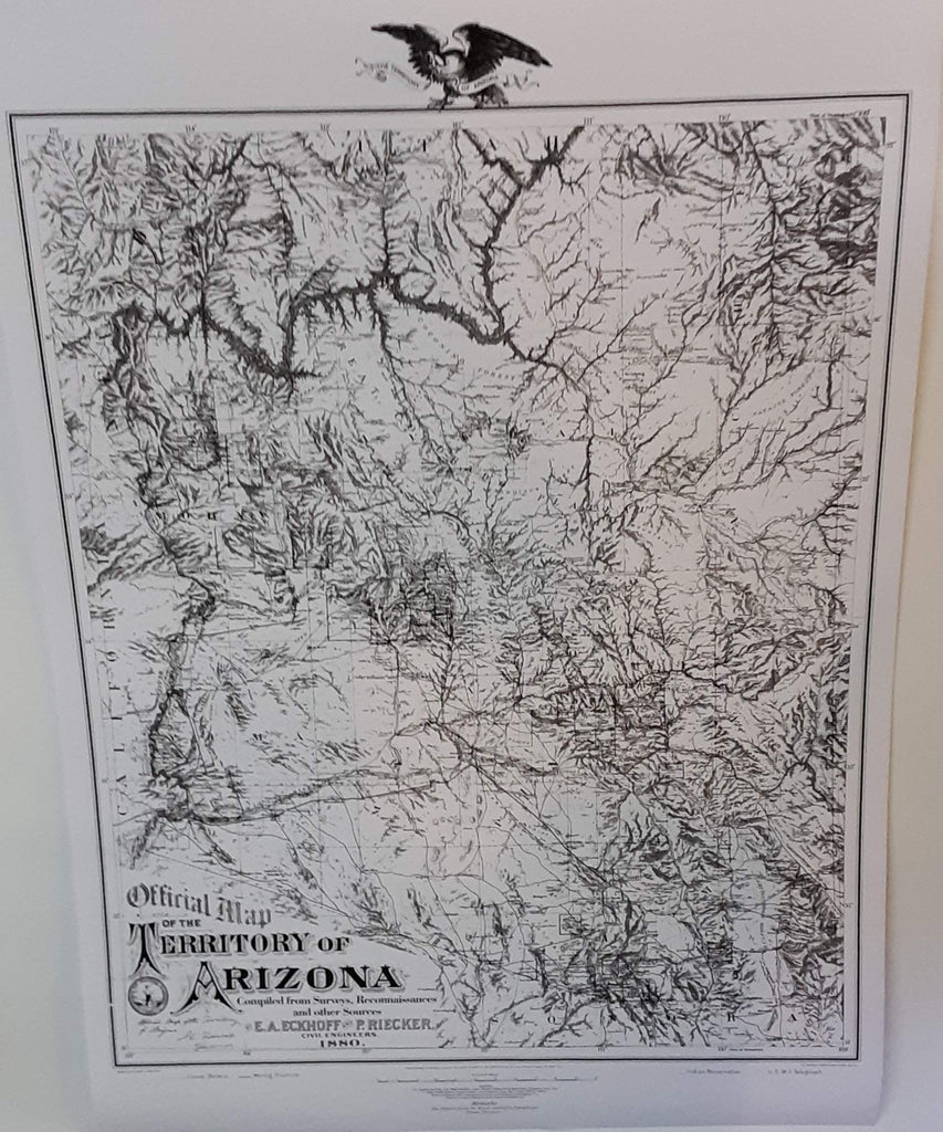
This faithful reproduction of the Arizona Territory in 1880, drawn by civil engineers of the time, shows mining districts and county lines, telegraph lines, and Indian country. A historical reproduction, the original map was created for the Library of Congress and compiled from surveys, reconnaissances, and other sources.
Dry Erase Lamination is specialty laminate that allows for dry erase markers to be used on the finished print and erased as desired. The dry erase lamination makes this map a convenient and useful detailed reference ready for wet or dry erase markers, sticker dots or arrows, and graphic tape.
- Dry erase laminated paper, one-sided wall map.
- Size: 30" × 41.5"